Drone Mapping Applications
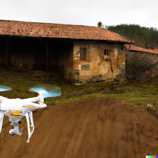
Drone mapping is a powerful tool for surveying and monitoring large areas of land. With the use of drones equipped with high-resolution cameras and specialized software, it is now possible to quickly and efficiently capture detailed images and data of even the most remote or difficult-to-access areas.
One of the main benefits of drone mapping is its ability to cover large areas in a short amount of time. A drone can fly over a site at a much faster pace than a person on foot, and can also reach areas that are otherwise inaccessible. This makes it ideal for surveying large construction sites, mining operations, and even entire cities.
Another benefit of drone mapping is the high-resolution images and data that it can capture. With the use of specialized cameras, drones can capture images with a resolution of up to 30 centimeters per pixel. This level of detail allows for highly accurate measurements and analysis of the data collected, which can be used for a wide range of applications.
One popular application of drone mapping is in the field of agriculture. Drones equipped with multispectral cameras can capture images of crops, which can then be analyzed to determine the health and productivity of the plants. This information can be used to optimize irrigation and fertilization, and to detect and address issues such as pests or diseases.
Another application of drone mapping is in the field of mining. Drones can be used to survey mining sites and to monitor the progress of mining operations. This information can be used to optimize extraction processes and to minimize the environmental impact of mining.
Drone mapping can also be used for urban planning and infrastructure management. By capturing high-resolution images of buildings and roads, cities can plan for future developments and infrastructure projects, and can also monitor the condition of existing structures.
Overall, drone mapping is a versatile and powerful tool that can be used for a wide range of applications. From agriculture and mining, to urban planning and infrastructure management, drone mapping can provide detailed and accurate information that can be used to optimize operations and make better decisions.


Comments
Post a Comment